Network Rail Site Surveys
Various, UK

project overview
Supporting Network Rail by delivering a range of specialist geomatic services
As part of a larger scheme which aims to collate information about their sites, review flood risk assessments and re-establish legal boundaries, Network Rail appointed our geomatic consultancy team to carry out a range of specialist services.
Network Rail owns and operates most of Britain’s rail infrastructure, which comprises approximately 20,000 miles of track, 32,000 bridges and tunnels, 2,500 stations and 8,200 commercial properties, making them the largest landowners in the UK.
While most of the stations are leased to train operators, Network Rail manages 20 of the largest stations alongside maintaining, renewing, replacing and enhancing the rail infrastructure.
vital information
Using sophisticated drone technology to gather detailed site data
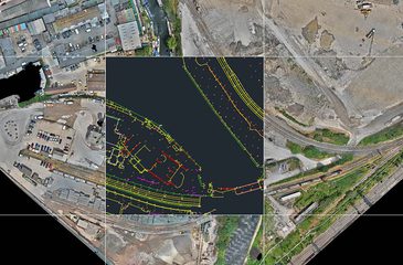
To establish vital information regarding building orientations, boundaries, roads, and Network Rail’s temporary buildings, as well as the rail tracks and associated station buildings, we provided topographical surveys across all five appointed sites.
Using laser scanners, we were also able to gather detailed information from the rail and road bridges on the sites, without any disruption to the services.
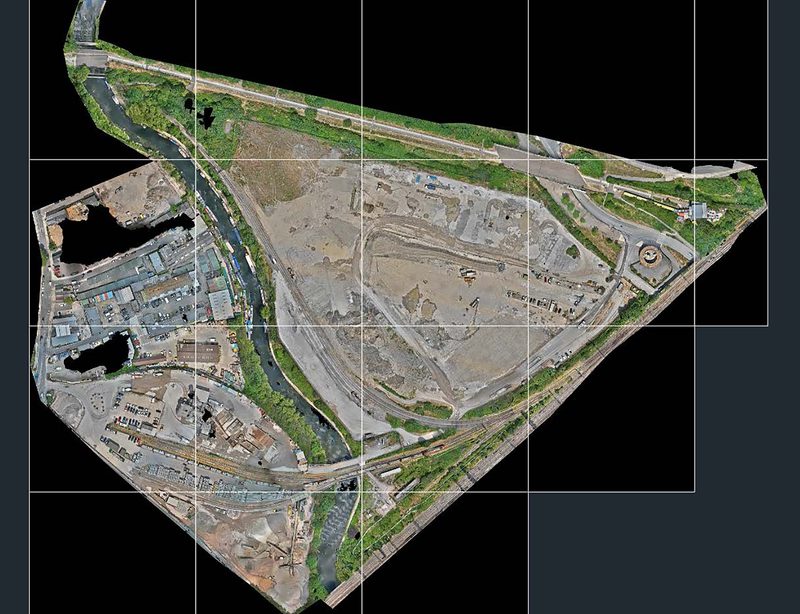
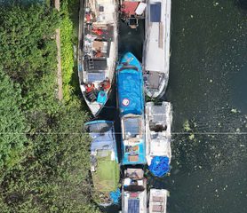
At the client’s East London site, we used sophisticated drone technology and co-ordinated ground control points (GCP), to collate accurate information. This enabled us to create a scaled image of the entire site, which includes part of the 2012 Olympic Stadium on the North boundary, delivering an image of survey grade accuracies and tolerances.
We also carried out CCTV surveys at four of the sites, ensuring we provided a comprehensive picture of the client’s sites and associated assets.
Contact
Interested in
learning more?
Learn more about 'Network Rail Site Surveys' and other projects by reaching out to one of our team
Get in touchRelated Projects

National Portrait Gallery
Our Geomatics team were appointed to carry out a Scan to BIM survey of the Gallery, collecting information to be used in the Gallery’s plans to refurbish and extend the building in the future.
Manchester Airport Group Framework
Supporting Manchester Airport Group through strategic advice and works.

UKRRIN Centre of Excellence in Rolling Stock Advanced Research Facility
A developing this world class railway research centre, we provided lead designer, architecture, project management and principal designer services.


